Total Solar Eclipse 2012
November 14, 2012, as photographed from 20 miles west of Mt. Carbine, Queensland, Australia
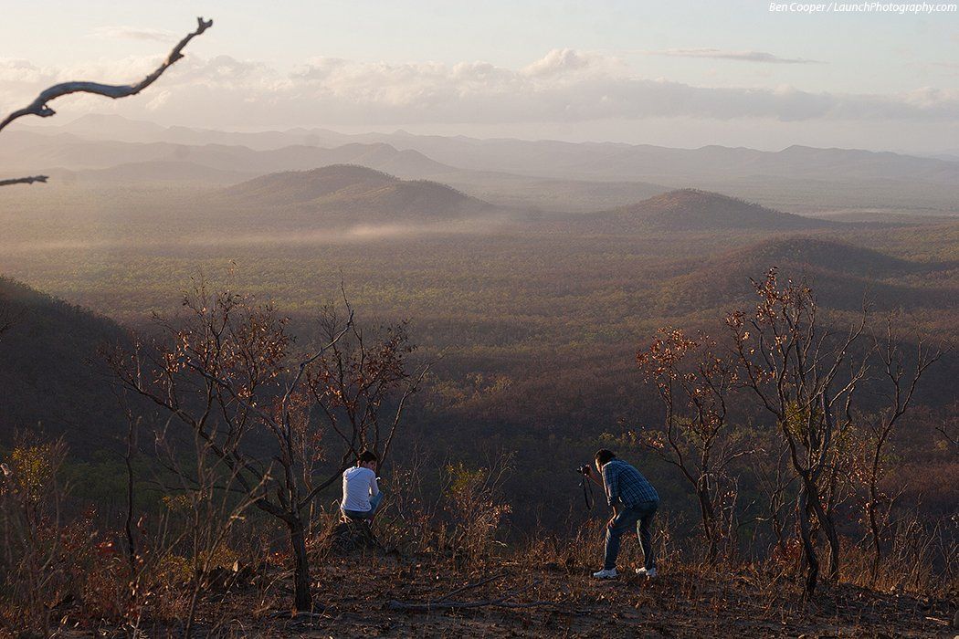
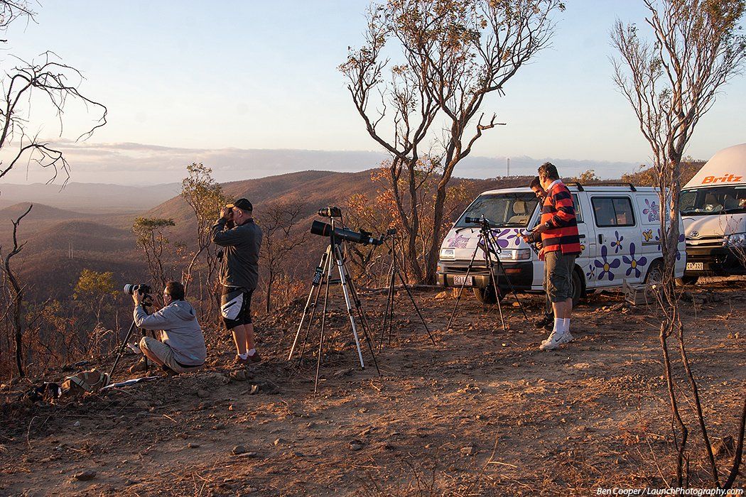
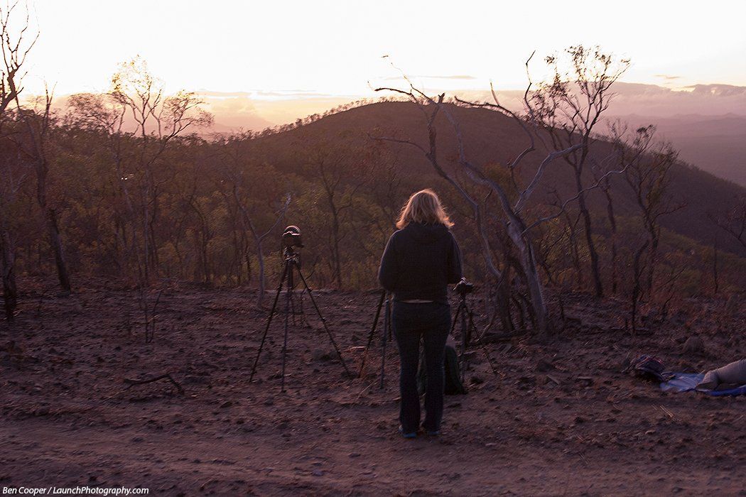
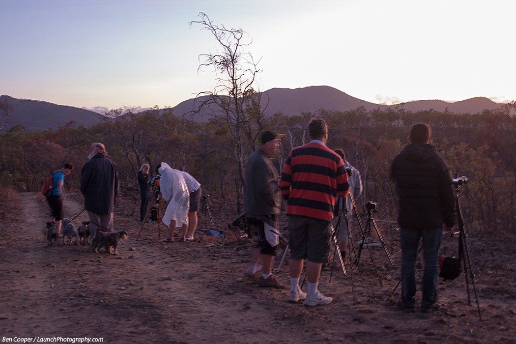
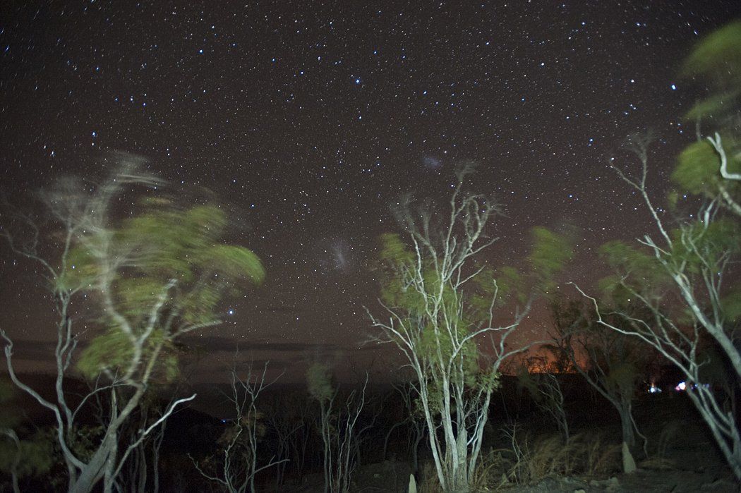
Total Solar Eclipse of November 14, 2012, as seen from a hilltop about 20 miles west of the Outback town of Mount Carbine, Queensland, along the Mulligan Highway (Peninsula Development Road), a road only paved in recent years. Heading inland to get away from coastal showers and clouds which were promising to interfere with the viewing, we drove some 150 miles into the outback to find a good spot the day before and settled upon a remote hillside, up along a dirt track that pulled away from the main road. The location was about 40 miles inland, and 67 miles from Cairns, as the crow flies. About 20 other cars camped out here as well under very dark skies. The duration of totality here was two minutes and two seconds (6:38:00 to 6:40:02 a.m. local), and was only about 8.55 miles from the centerline. The above photo is a digital multiple exposure of the sequences of the eclipse, beginning shortly after sunrise (which is why the sun is more orange) and the solar filter coming off only for the totality picture that makes the background. The sky is lighter on the right as this is the edge of the moon's shadow during the beginning of the two-minute totality and which crossed the sky from upper left to bottom right during the total phase. Several photos show the famous diamond ring as the last bit of sun disappears and reappears, and others show the rub-red prominences, larger than Earth itself, along the sun's limb.


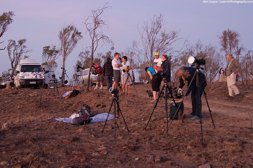
Photos from around the viewing site: